ZH / Autonomous earth intelligence
Ground truth at planetary scale.
zohardi; when earth becomes visible
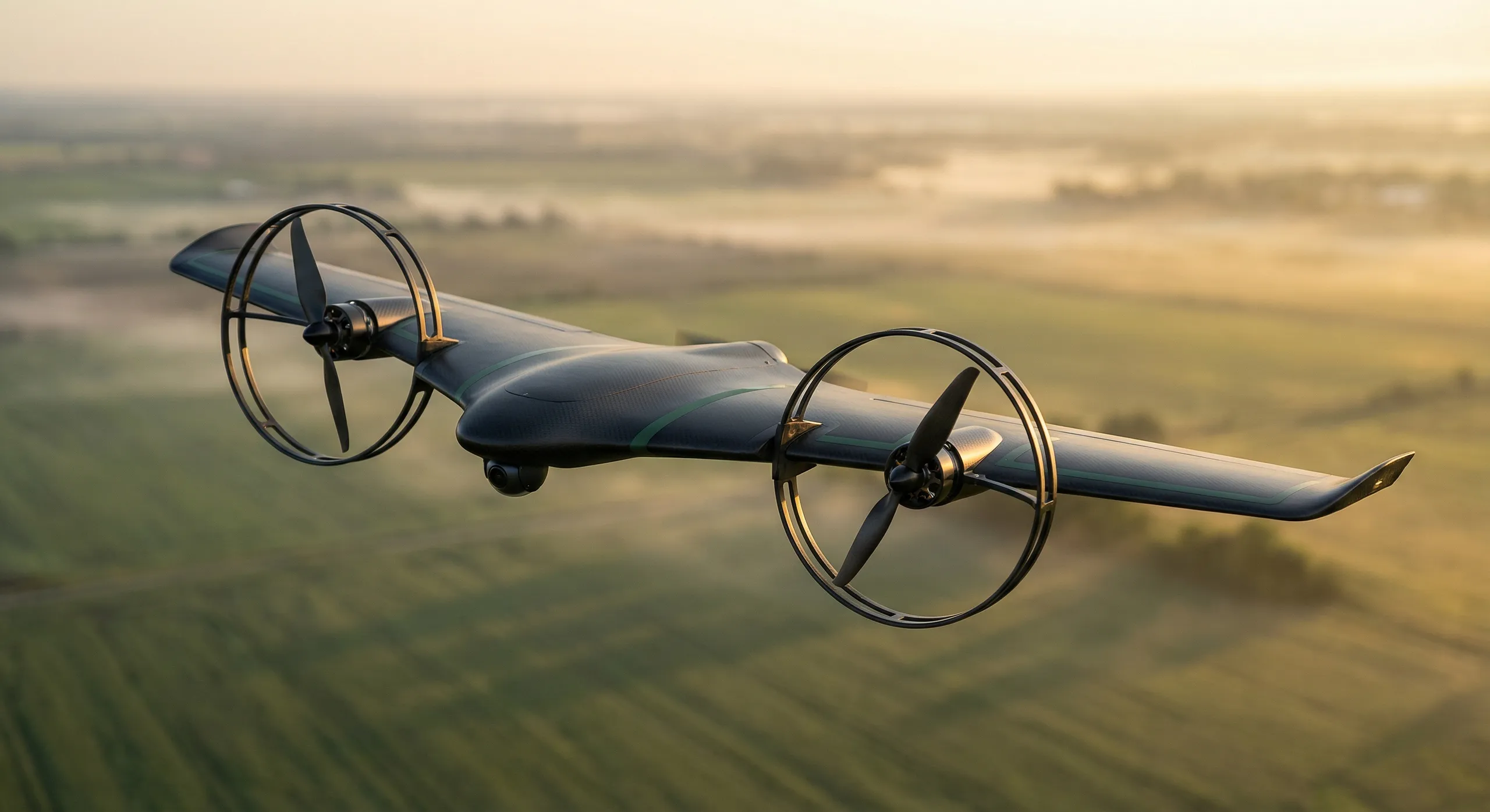
Satellites see the surface. We touch it. Zohardi builds autonomous aircraft that land, sample, and verify what is actually happening on Earth: centimeter precision, processed on the aircraft.
001 / The gap
The most important decisions on Earth run on inferred data.
A utility rates a corridor on last year's flyover. An insurer prices fire risk from a 30 meter pixel. A ranch allocates water on a model that has never touched its soil. Inference is cheap and everywhere. Verification is rare and decisive.
Zohardi closes the gap. Our flying-wing aircraft land, deploy a soil probe, read terrain and vegetation with on-board visual AI, and return direct ground measurements. Verified. Timestamped. Ready for action.
002 / The platform
Direct measurement. On-board intelligence. Global reach.
One geospatial intelligence platform: aircraft that touch the ground, and an intelligence layer built on what they bring back.
The intelligence
A living model of the land
Every flight compounds into a centimeter-scale, versioned model of the site: terrain, vegetation, assets, and change over time. Not a snapshot. A record.
A verified measurement chain
Every data point is captured with position, time, and method attached. When a number reaches a decision, its origin travels with it.
Delivered where you work
Intelligence lands in the tools teams already use: ArcGIS-native layers, exports, and a clean API. No new pane of glass required.
The collection layer
Blended wing body
Flight efficiency that compounds. The lifting-body airframe extends endurance and range, and across a fleet, the mission economics change entirely.
Direct soil sampling
A retractable probe captures subsurface conditions on contact. You know what is in the ground because the aircraft sampled it.
On-board AI
Vision-language models and edge perception run on the aircraft. Imagery is analyzed, classified, and fused before it ever leaves the airframe.
Autonomous flight
Land, sample, survey, return. No operator in the loop. Obstacle avoidance and replanning are handled on the edge, in flight.
Bandwidth-aware uplink
Intelligent compression sends decisions, not raw pixels, over cellular where coverage exists and satellite where it doesn't, anywhere on Earth.
Scalable operations
A modular platform built to scale from single-aircraft research deployments to persistent, large-area monitoring programs.
Built to complete the stack, not replace it. Satellite change detection can cue a Zohardi flight, and our ground measurements calibrate the imagery and models you already run.
003 / Applications
Built for high-consequence field decisions.
From utility corridors and fire country to working farms, ranches, and verified markets: the platform is built for repeatable ground truth.
 APP / 01
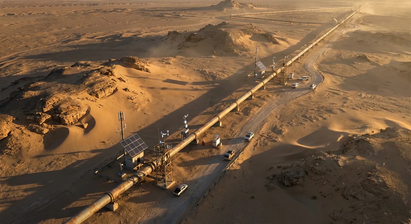
Utility & infrastructure corridors
Vegetation encroachment, asset condition, and fire-season compliance across transmission and distribution corridors: measured on the ground at centimeter scale, on a cadence inspection programs can actually hold.
 APP / 02
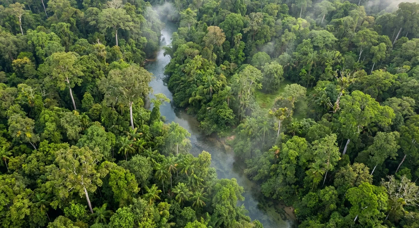
Wildfire & risk
Fuel load, fuel moisture, and defensible space, measured before fire season instead of estimated after it. Risk models get inputs that touched the ground.
 APP / 03
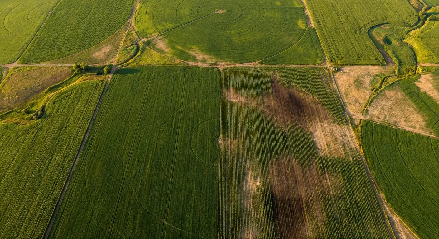
Agriculture & ranchland
Soil health at the plant level. Direct subsurface measurement plus sub-centimeter imagery tells you when and where to irrigate, fertilize, graze, or intervene, field by field, pasture by pasture.
 APP / 04
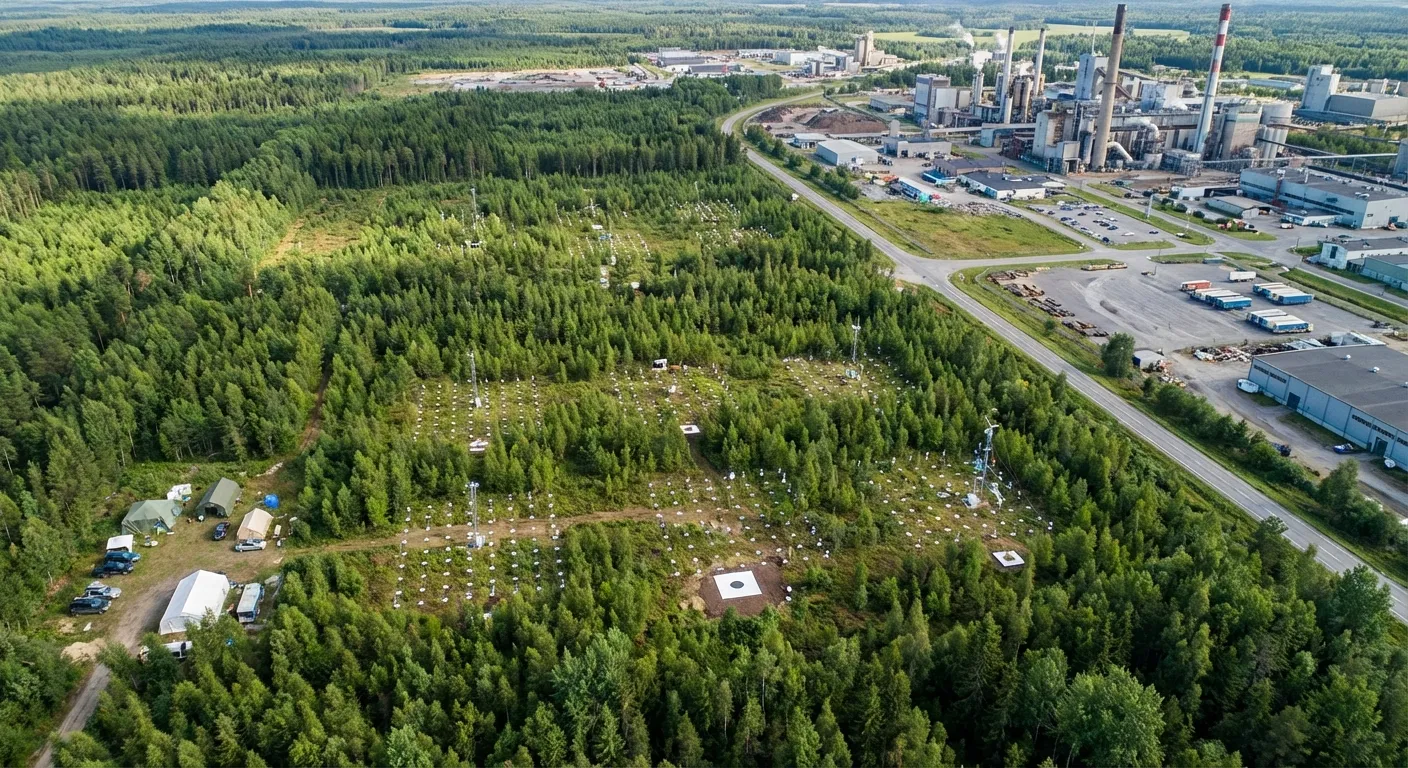
Verification & markets
Measurement that stands up to scrutiny. Biomass, soil carbon, water, and restoration outcomes, with provenance attached to every data point: credits, claims, and compliance built on sampled ground truth instead of proxies.
004 / Provenance
Engineered and built in Santa Barbara, California. Flown wherever the ground truth is.
005 / Contact