
Conservation and easements
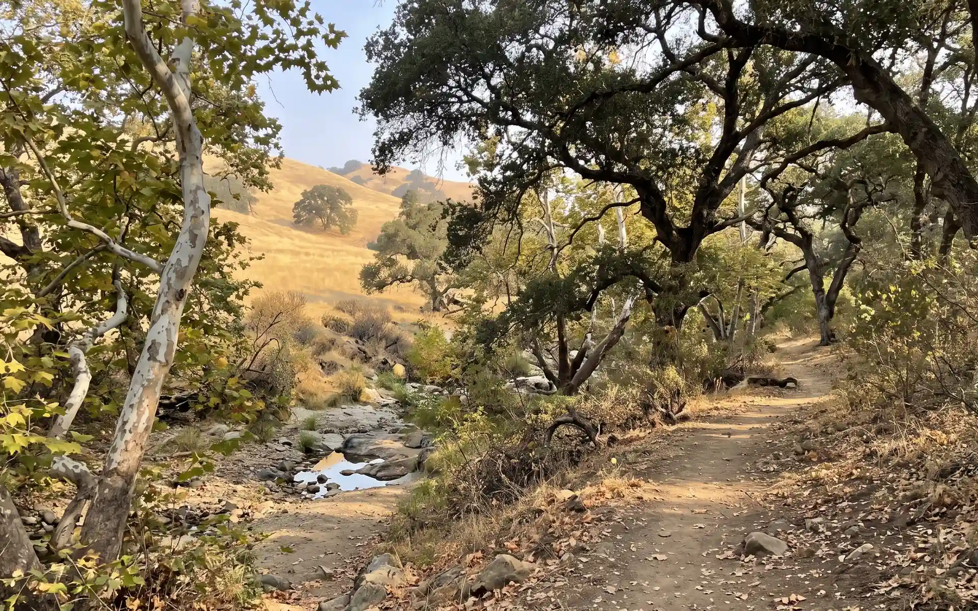
Encroachment, habitat change and restoration progress.
ZH / Managed lands
Farms, ranches, preserves, corridors and waterways ask different questions of the same ground. The Zohardi Brain, the aircraft and the learning engine stay the same. Only what the models look for changes.
001 / One flight, many questions
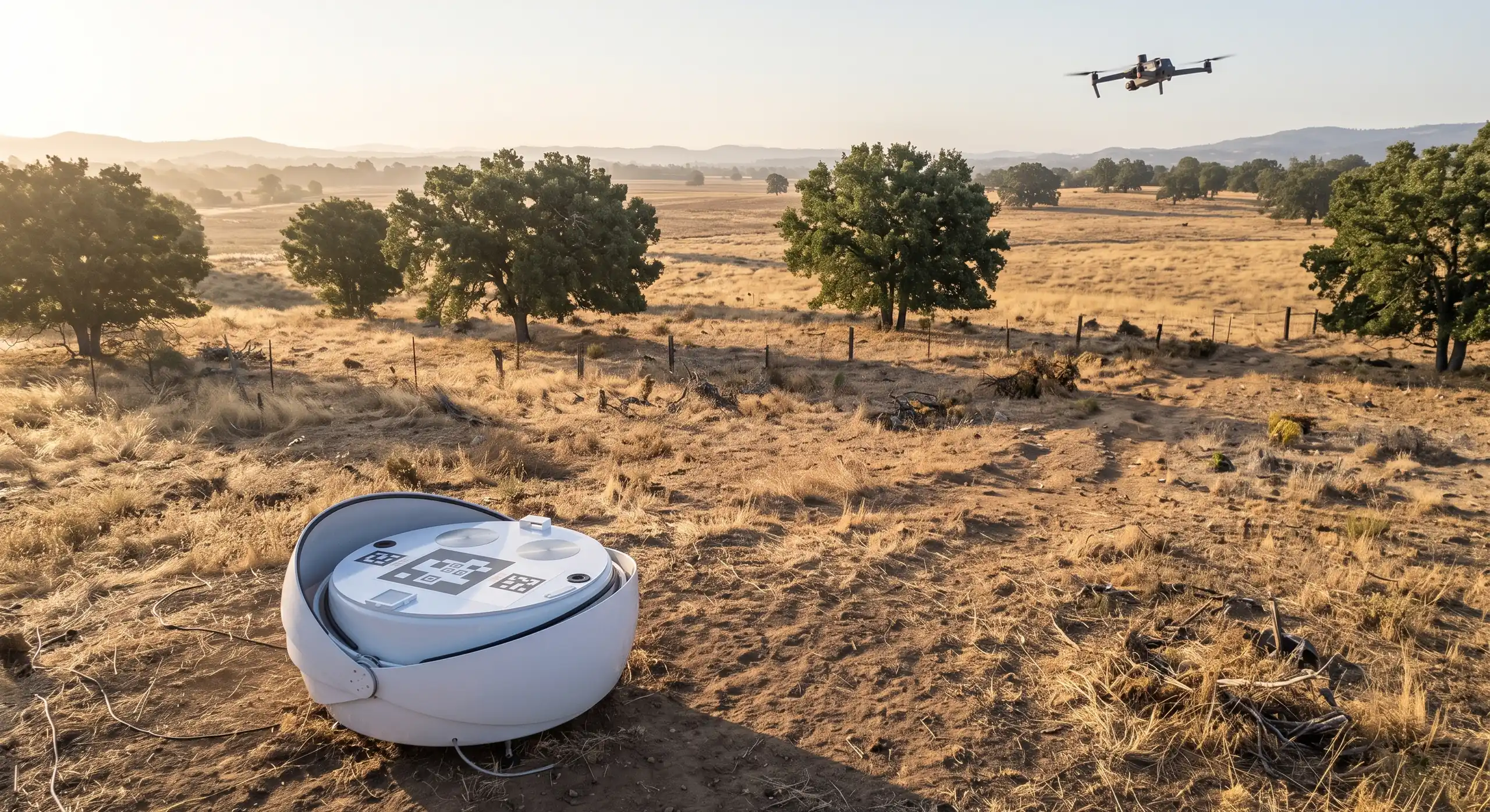
One base image of a property, with a layer for each question. Condition change for an easement, standing feed for a ranch, vegetation clearance for a corridor, and heat and methane wherever they matter.

002 / Disciplines
Encroachment, habitat change and restoration progress.
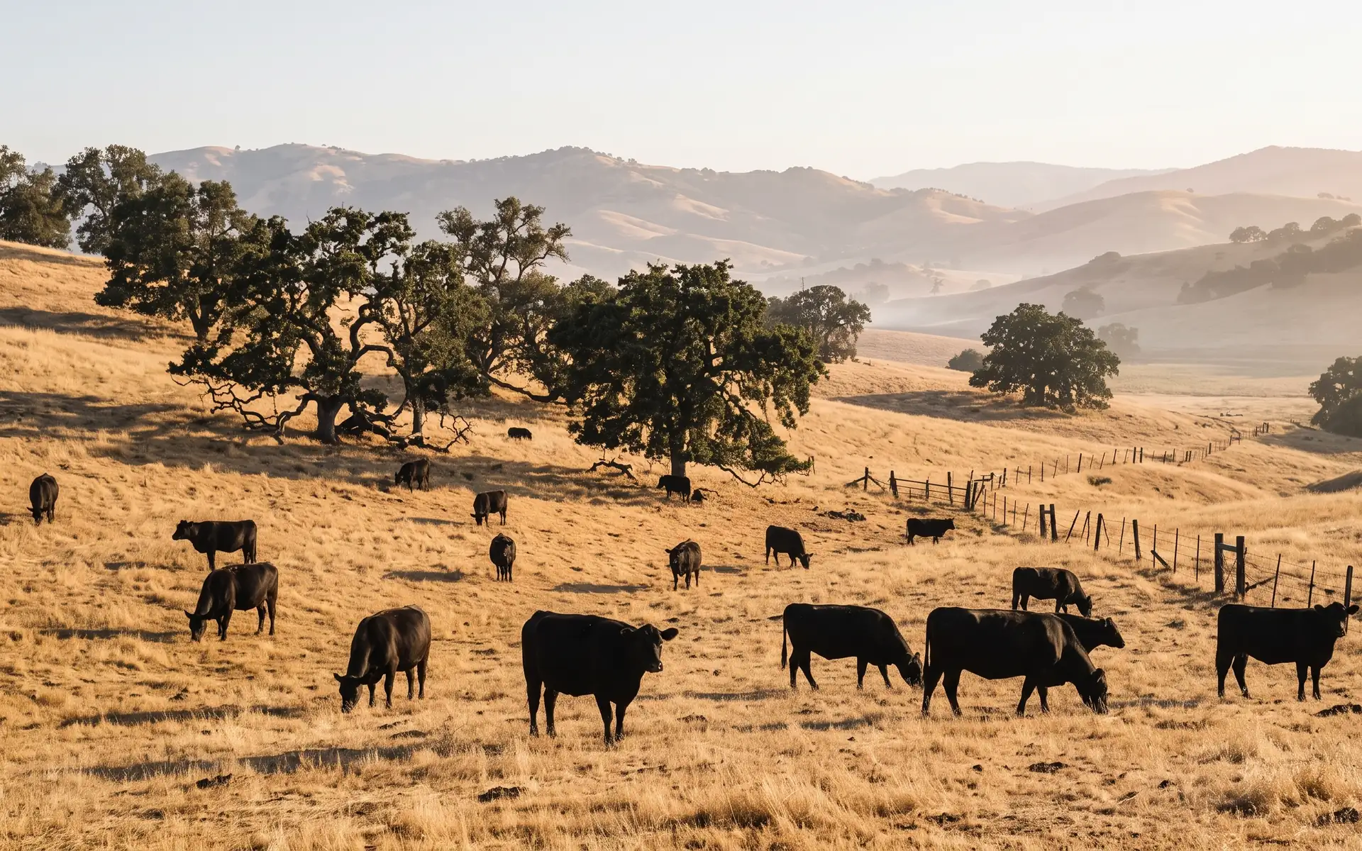
Standing feed, water and troughs, and fences.
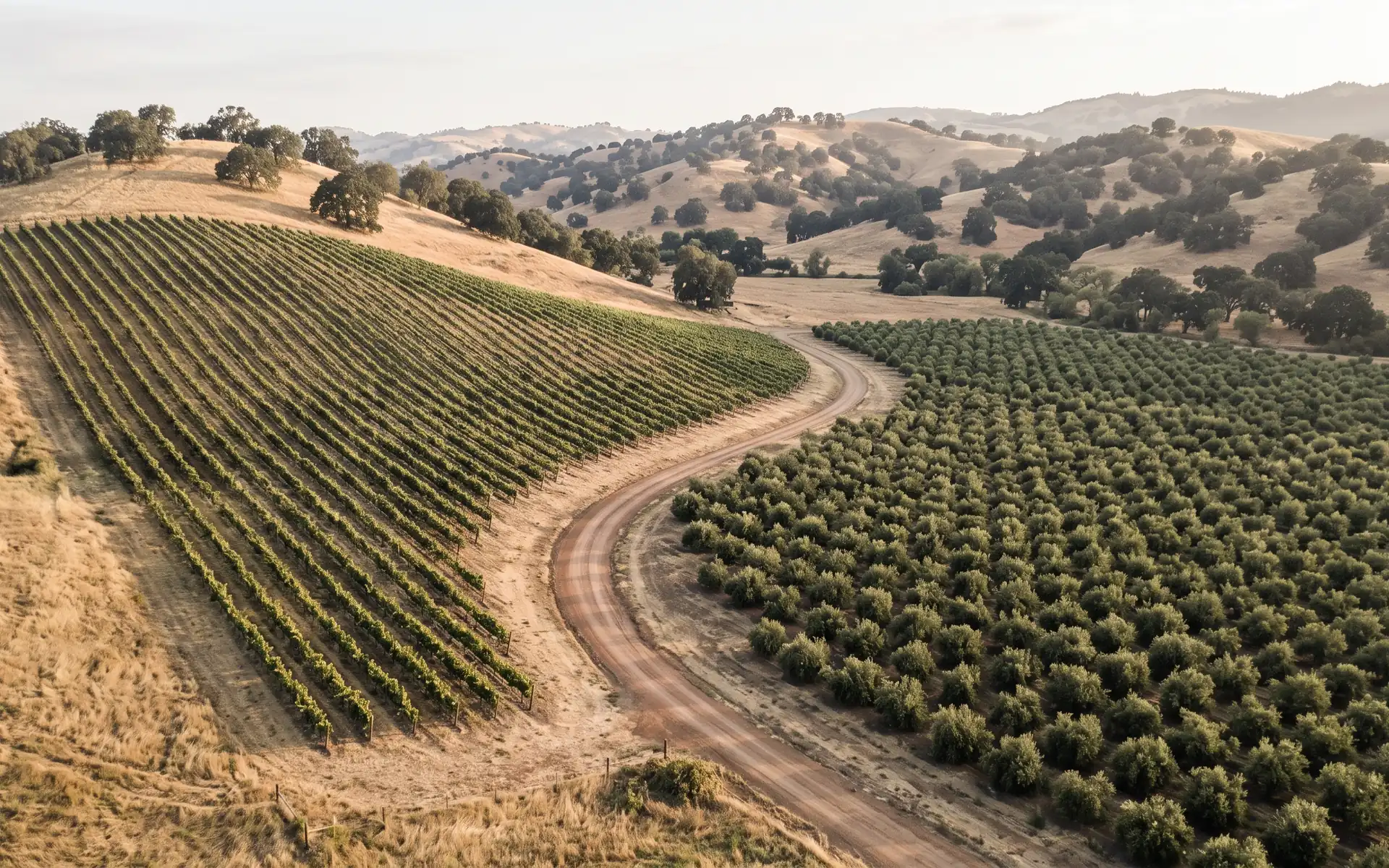
Crop vigor and stress, irrigation problems, and change field by field.
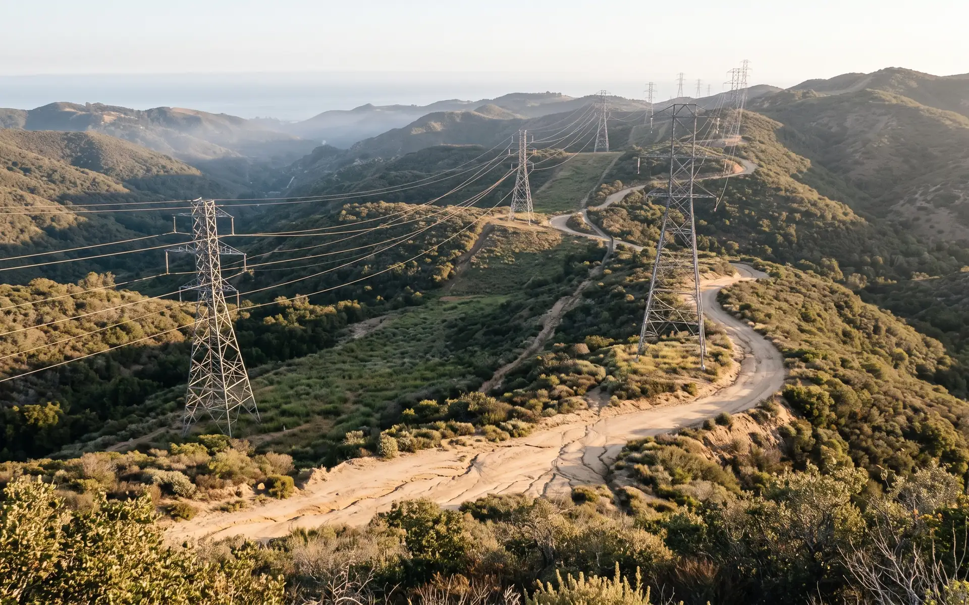
Vegetation encroachment and right-of-way condition.
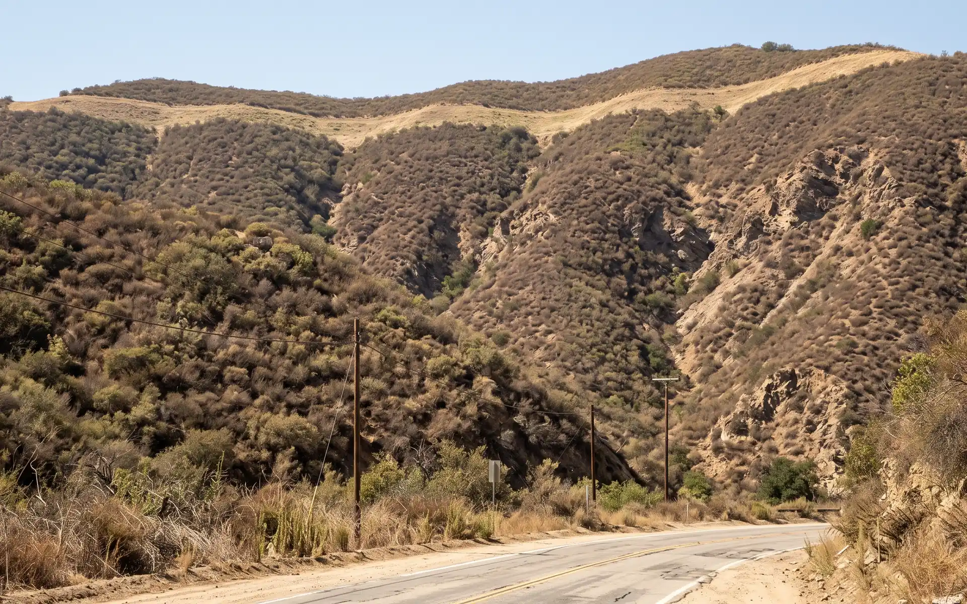
Fuel load, defensible space and proof that treatments were done.
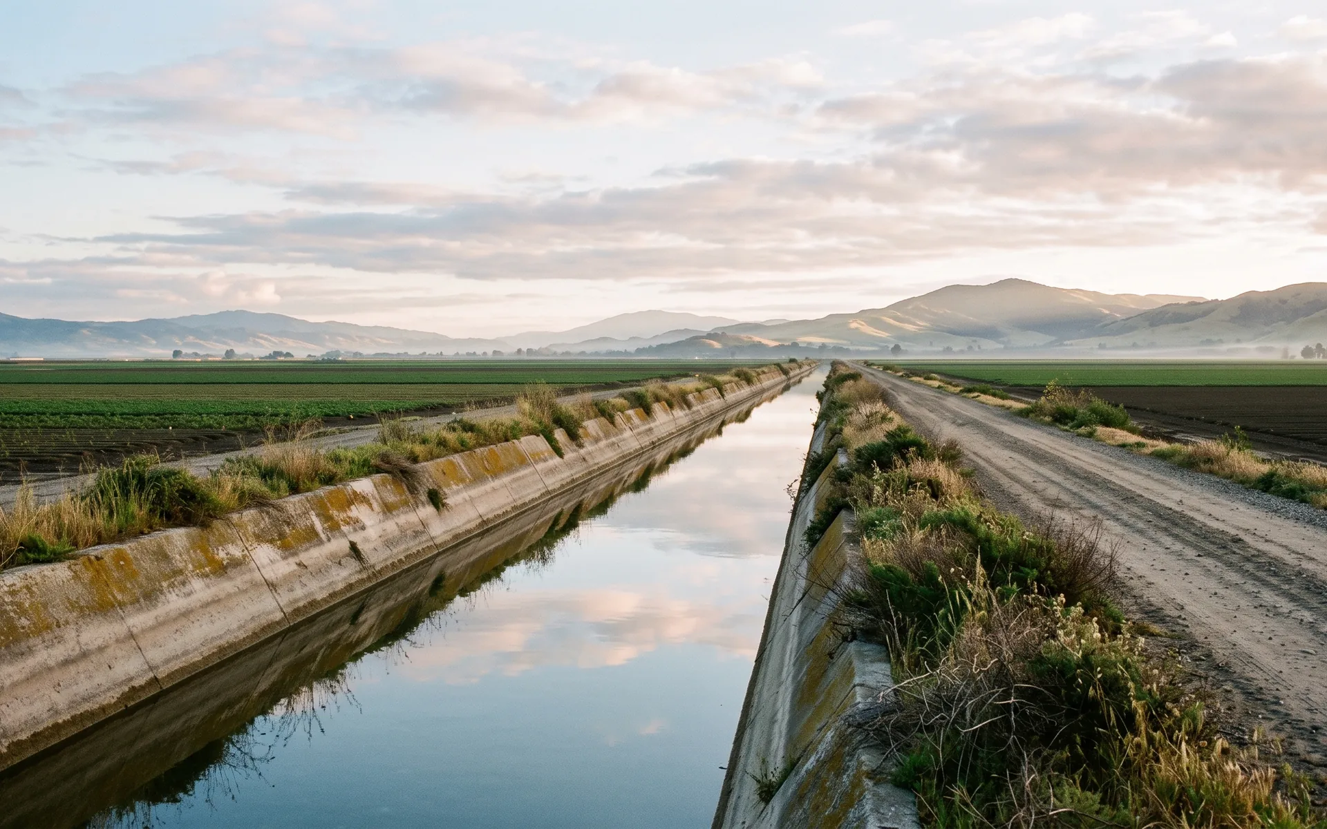
Canal and levee condition, and standing water.
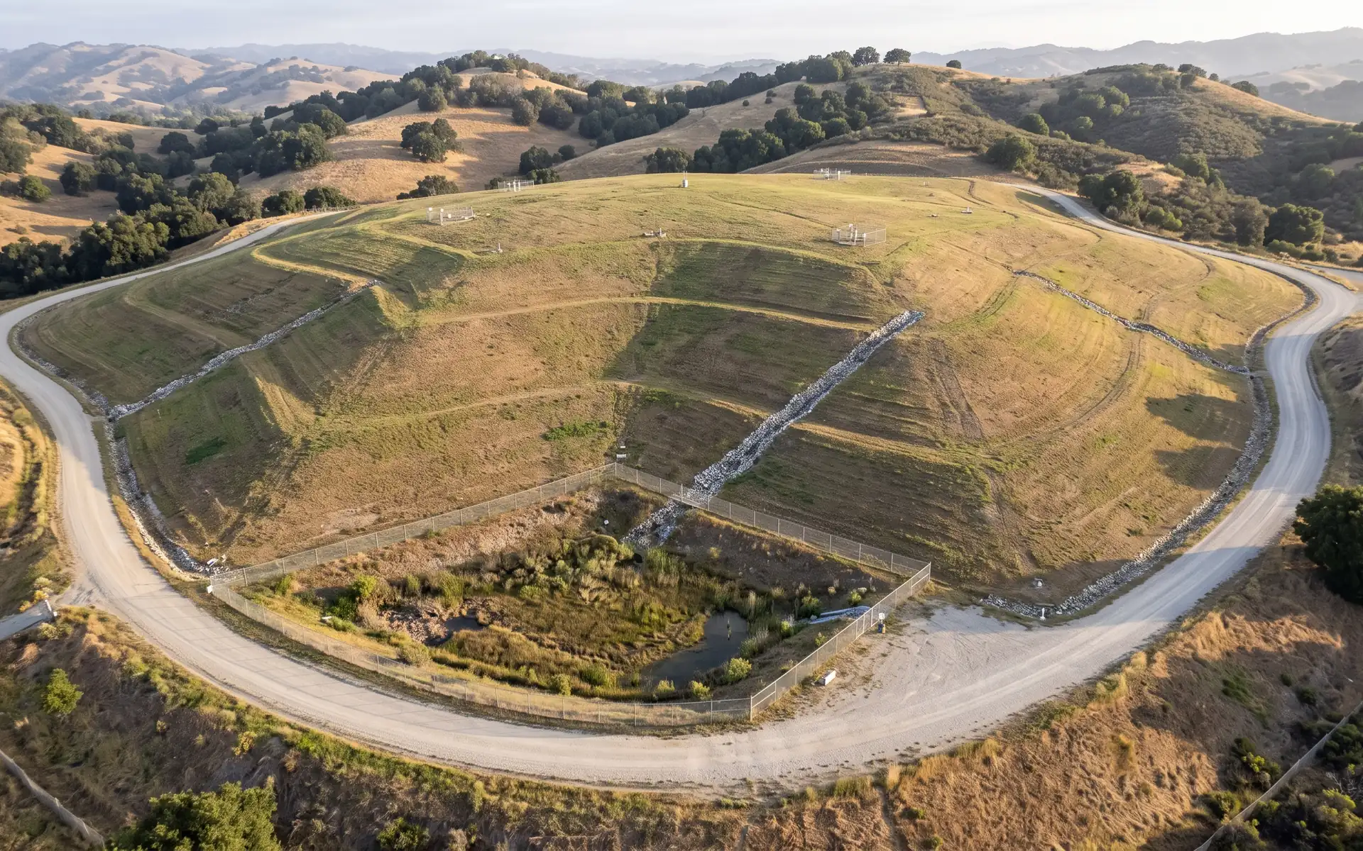
Methane across the cover, cover and slope condition, and erosion.
003 / One flight, several buyers
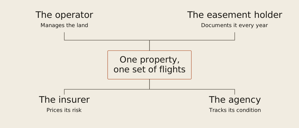
The operator manages the land, an easement holder documents it, an insurer prices its risk and an agency tracks its condition. One set of flights can serve them all.
004 / How we start
If you already have aerial or drone imagery, send it with your existing records, and we'll run our change detection over that history and show you what it finds. If you don't, that's fine. Nothing in the system depends on it, and the record starts with the first flight. Either way, we start with one dock on one property.